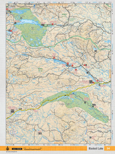
This recreation topographic map for the Entiako Lake area highlights all the logging roads, trails and recreational Points of Interest including hunting, camping, hiking, mountain biking, canoeing, kayaking, backcountry skiing, wildlife viewing, ATVing, snowmobiling and more. No other map provides you with this level of recreational and topographic detail for the Homathko River area. Covering the Entiako Prov Park, Entiako Lake, Moose Lake, Natalkuz Lake, Tetachuck Lake, Entiako Protected Area, Chelaslie Arm, Intata Reach, Lucas Lake, Entiako River and more, this map contains new features such as private land and labelled fish species. The 1:85,000 scale map covers 3,040 km2 (1,175 mi2), measuring 50 x 63.5 km (30 x 39.5 mi) and is available in digital or trackable PDF format to use on several 3rd Party apps including Avenza, Locus Maps and Topo Maps+.
This map also covers the following Wildlife Management Units: WMU 5-10 Cariboo, WMU 6-1 Skeena, WMU 6-2 Skeena, WMU 6-4 Skeena.
- Released: 2018
- Paper: Waterproof Option Available.
- Dimensions: 61 x 94 cm/24 x 37 inches
- Map Scale: 1:85,000
- Digital Format Available: Yes, see DIGITAL Tab for details.
- Map Features: Highways, Logging Roads, Land & Water Features, Parks, Adventure Points of Interest, Campgrounds, Hiking Trails, Motorized Trails, Paddling Routes, Hunting & Fishing Areas, Winter Recreation and More.
- Areas Covered: Entiako Prov Park, Entiako Lake, Moose Lake, Natalkuz Lake, Tetachuck Lake, Entiako Protected Area, Chelaslie Arm, Intata Reach, Lucas Lake, Entiako River


