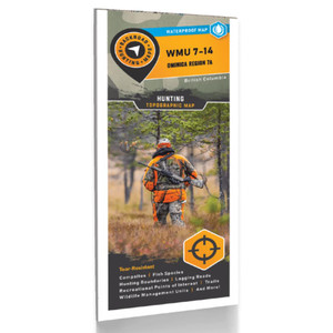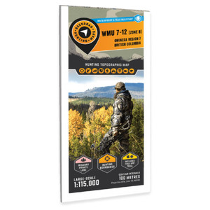
Paper: Waterproof
Dimensions: 61 x 94 cm (24 x 37 inches)
Maps: Single sided @1:150,000
Map Features: Wildlife Management Units, Highways, Logging & Forest Service Roads, Land & Water Features, Parks, Adventure Points of Interest, Campgrounds, Hiking Trails, Motorized Trails, Paddling Routes, Hunting & Fishing Areas, Recreation Sites, and more.
Areas Covered: Fort St. James, Fraser Lake, Vanderhoof, Braeside, Davidson's Landing, Dog Creek, Fort Fraser, Necoslie Creek, Stuart River, Oona Lake, Ormond Lake, Omineca Region 7A, WMU 7-13


